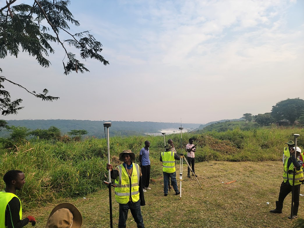
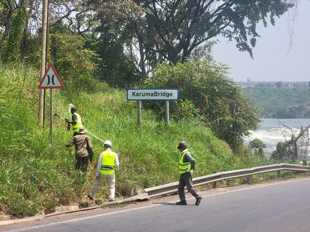
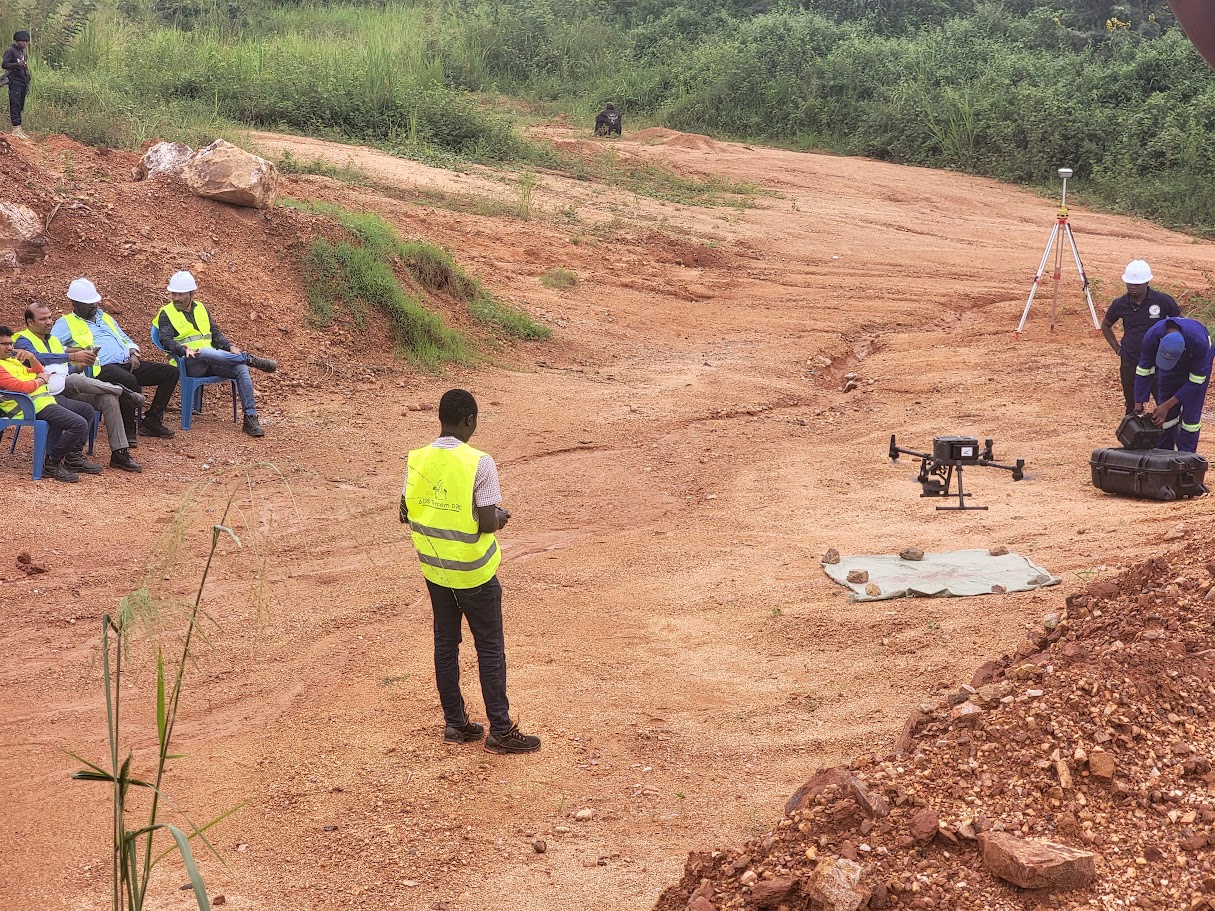
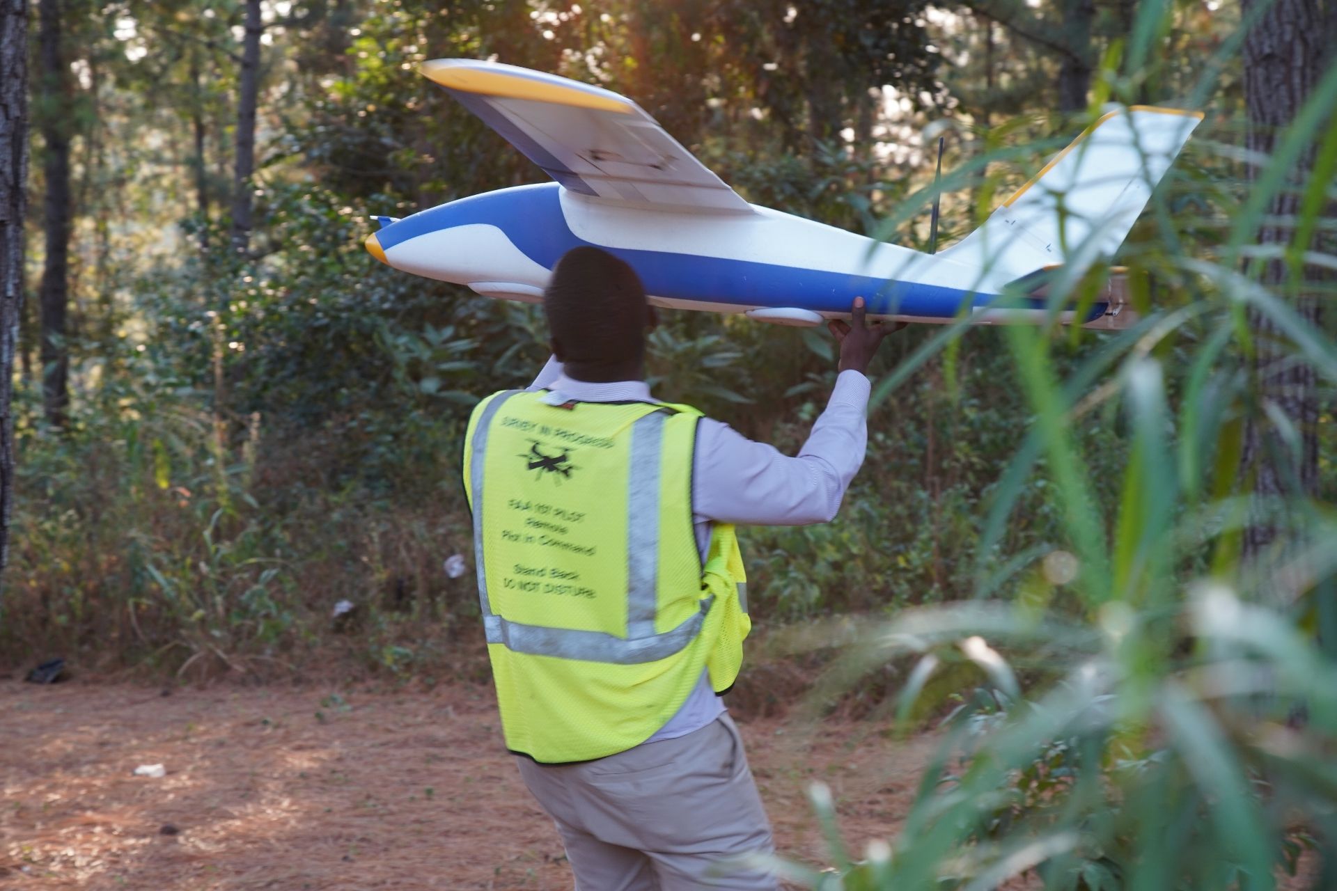
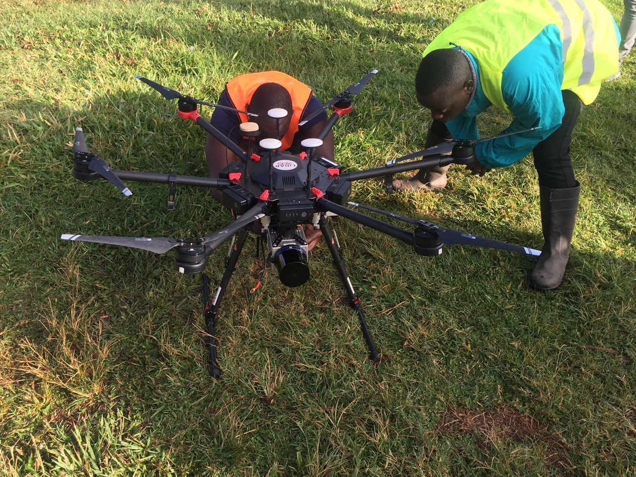
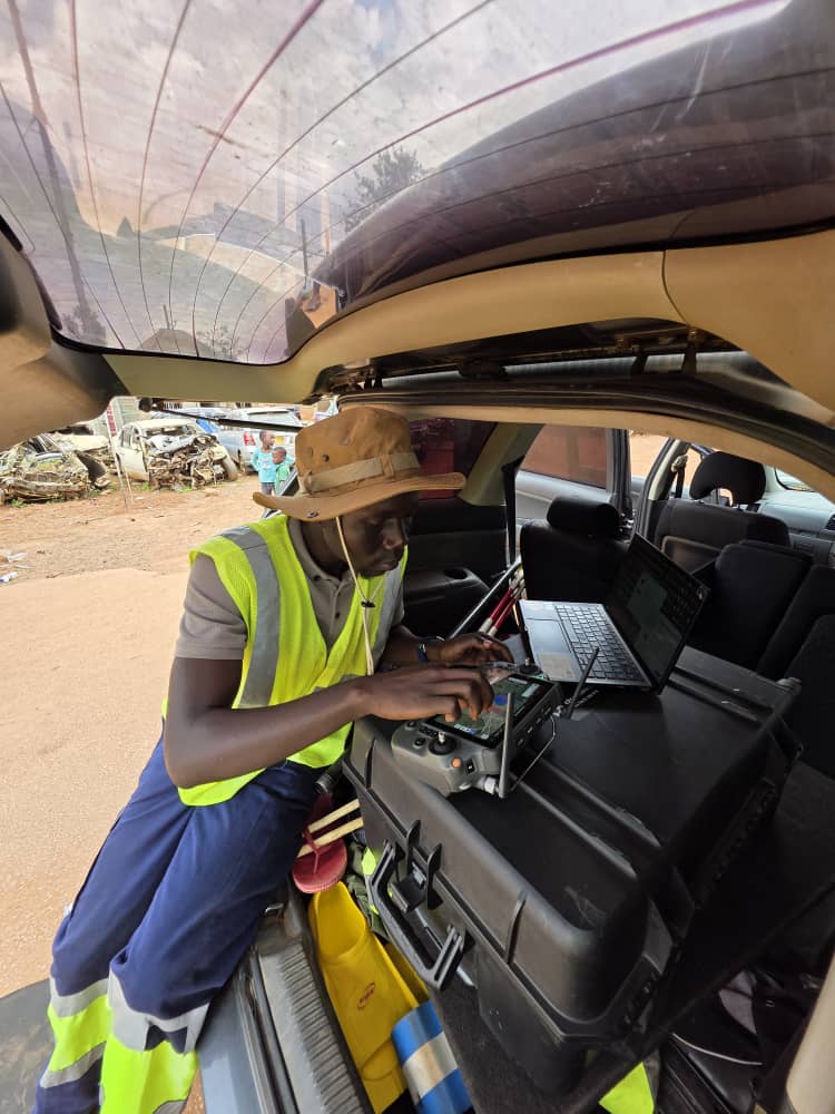
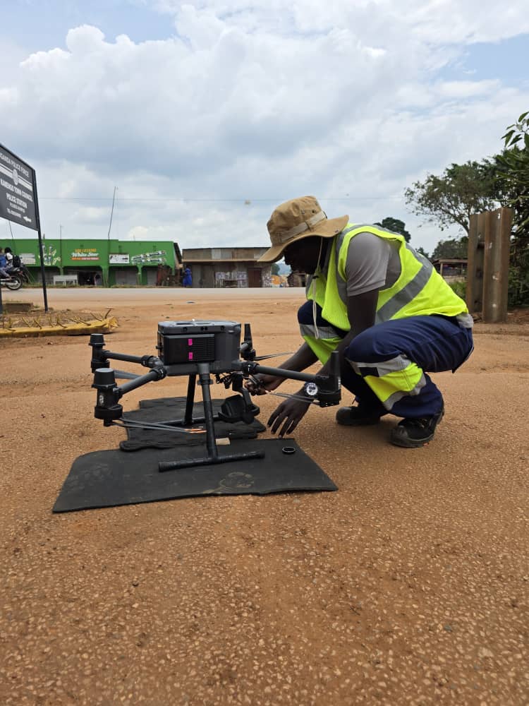
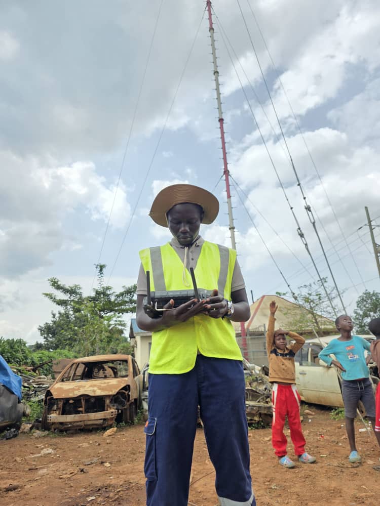
Drone Services

About Us

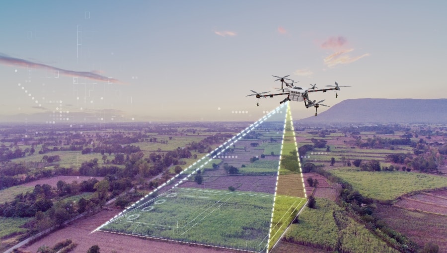
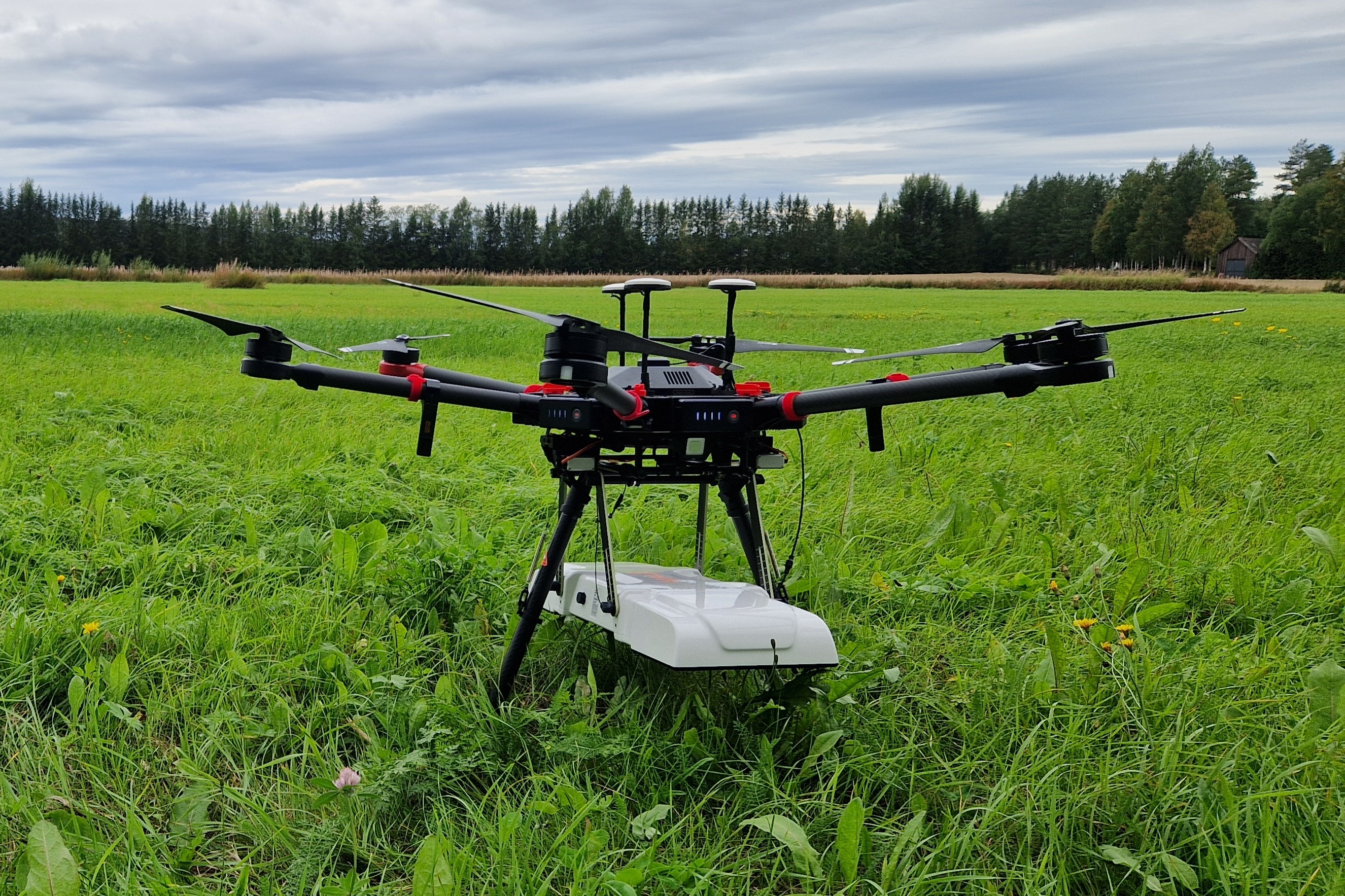
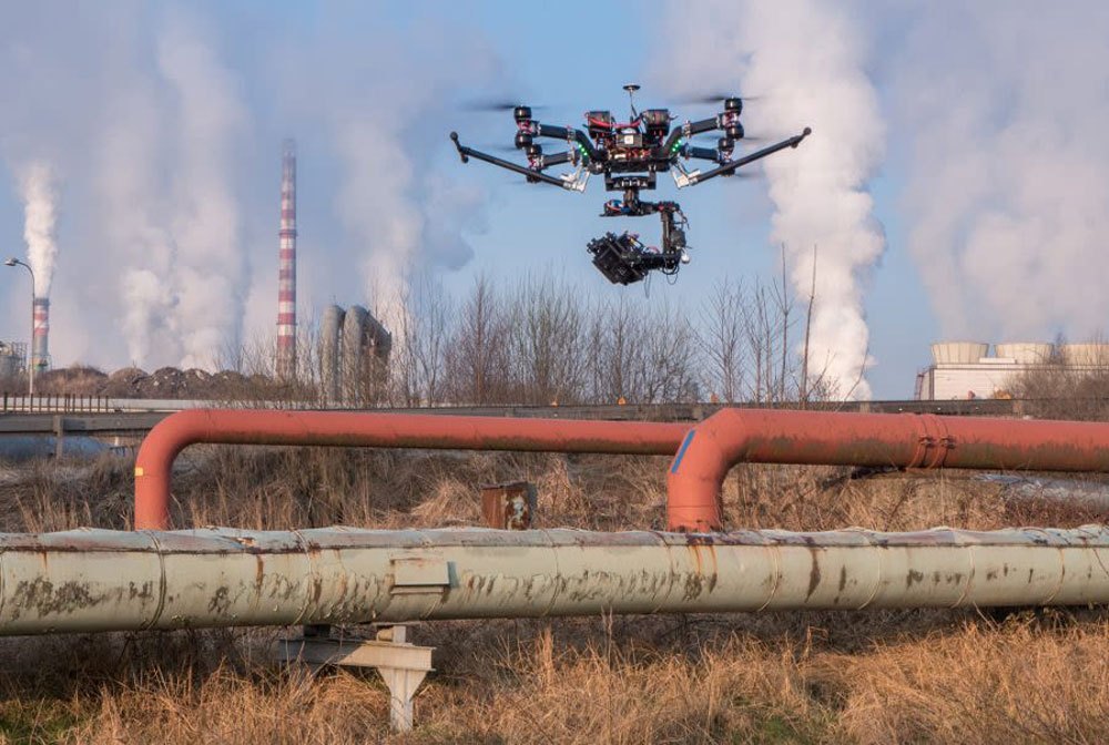
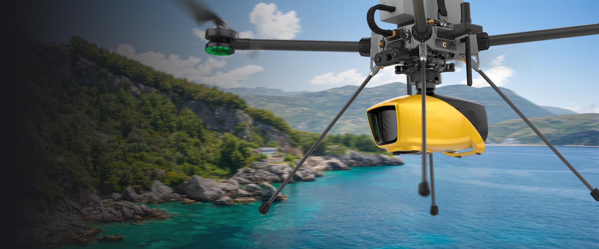
At HI-RES Digital Mapping UG LTD, we combine precision drone technology with expert insights to deliver high-resolution aerial solutions. Our services cover everything from topographic mapping and 3D modeling to detailed inspections and UAV-based surveys.

We believe in clarity from above — providing clients with the data they need to plan, build, and grow smarter. Our certified pilots and GIS professionals are ready to elevate your project with safety, innovation, and accuracy at the core of everything we do.

Our Core Values

Driven by purpose, guided by principles. These are the pillars that elevate everything we do.

Centricity

We put our clients and communities at the center of every mission, designing solutions that serve real needs with precision and care.

Integrity

We act with honesty, responsibility, and respect—always doing the right thing, even when no one is watching.

Excellence

We hold ourselves to the highest standards in performance, safety, and innovation across every aerial solution we offer.

Sustainability

We are committed to delivering value today without compromising tomorrow—through smart tech and responsible practices.

Sectors We Serve

Empowering industries with precision UAV solutions tailored for efficiency, safety, and innovation.

Agriculture

Crop monitoring, irrigation mapping, and precision agriculture powered by aerial intelligence.

Security & Defence

Real-time situational awareness, surveillance, and rapid deployment support for tactical operations.

Engineering & Construction

Site analysis, structural monitoring, and progress tracking with centimeter-level accuracy.

Reasearch

We assist researchers with aerial data for surveys and field studies.

Survey & Infrastructure

Accurate mapping, infrastructure inspection, and asset lifecycle management using drone data.

Health

We support medical logistics and emergency access through drone operations.

Our Services

We offer advanced drone solutions across multiple industries. From aerial mapping to AI-integrated inspections, our expertise helps you see beyond the surface.

Topographic Survey

Topographic Survey

High-resolution terrain mapping for accurate land analysis and planning.

Magnetic Survey

Magnetic Survey

Non-invasive detection of underground structures and materials.

Gas Detection

Gas Detection Survey

Identify gas leaks or emissions safely with precision drone sensors.

Bathymetric Survey

Bathymetric Survey

Map water bodies’ depth profiles for marine and civil projects.

Surveillance

Surveillance

Real-time monitoring for security, events, wildlife, and more.

Consultancy

Consultancy

Professional guidance on drone strategy, compliance, and operations.

Traffic Studies

Traffic Studies

Analyze flow, congestion, and safety using aerial traffic data.

AI & ML Integration

AI & ML Integration

Leverage intelligent automation for decision-making and data analysis.

Thermal Inspection

Thermal Inspection

Detect heat anomalies in equipment, buildings, or pipelines.

Our Projects

A glimpse into the missions we've accomplished across agriculture, construction, infrastructure, and more.

Aerial Mapping

GKMA Roads:300km - 2024

Monitoring

Landfill Monitoring - KCCA 2024

Aerial Mapping

Optical fibel corridors DRC: 900km - 2024

Topographic Survey

Mwerasandu mine - 2023

Aerial Mapping

Wakiso Town Council: 15 square miles - 2020

Surveillance

Wetland Lwera - 2022

Our Partners

We proudly collaborate with these great organizations.

Partner 1
Partner 2
Partner 3
Partner 4
Partner 5
Partner 6

Ready to Power Your Digital Future?

Get in touch with us today and let's grow together.